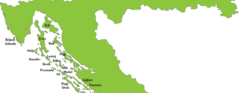
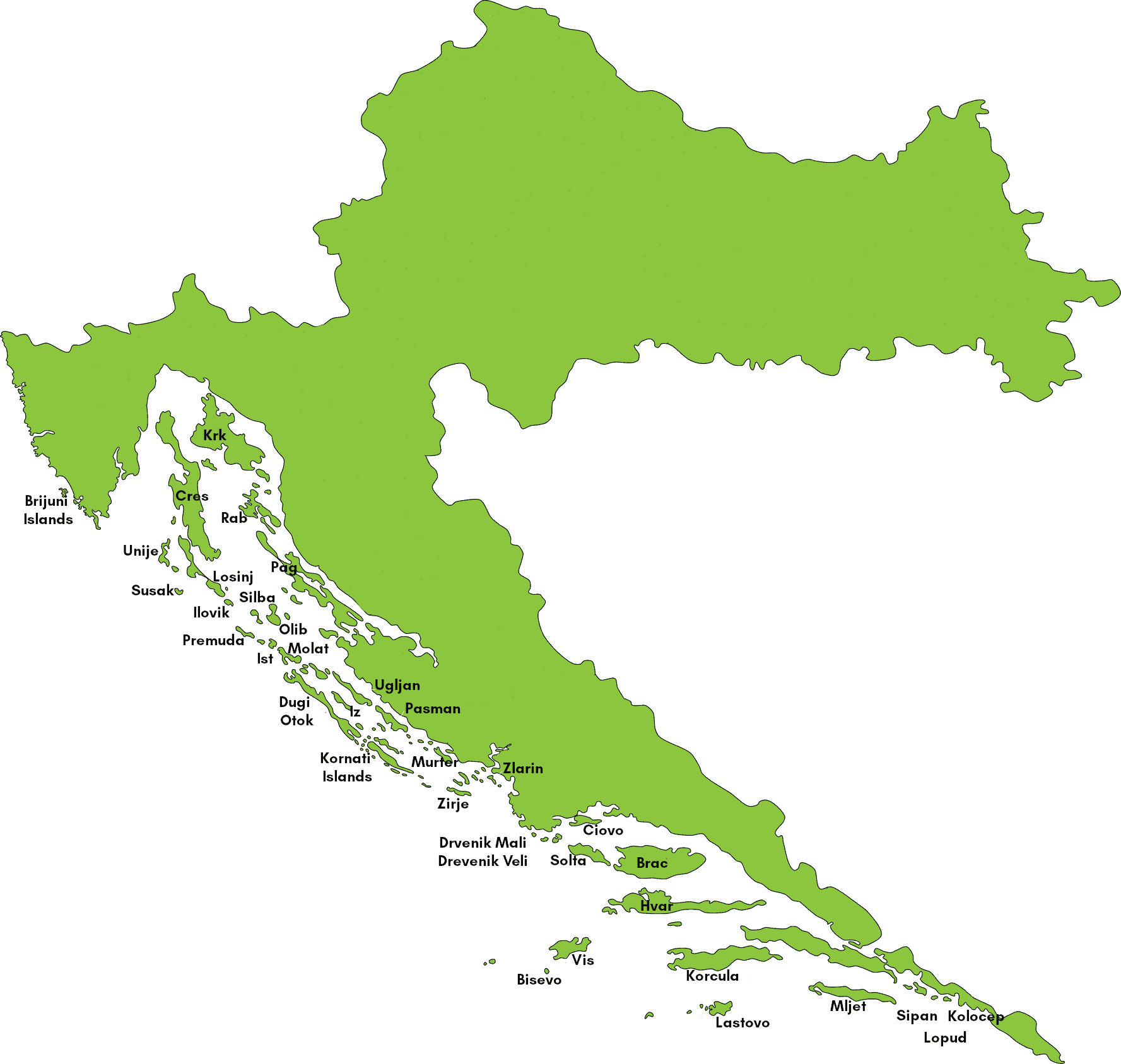
Here’s our map of the Croatian islands featuring Croatian island large and small!
Click on the map to open it in a new tab which you can then zoom into and scroll around in.
Can you spot islands such as Hvar, Brac, Vis, Mljet, Kolocep, Susak, Dugi Otok and others?
More Maps of Croatia
To familiarise yourself more with Croatia and its geography, take a look at our clickable Map of Croatia or our static Croatia Map. That page also features a map of all of the 20 counties (and the city of Zagreb!) of Croatia.
Another map of the Croatian islands that may be useful to you is our Croatian Ferries Map! This shows the main ferry and catamaran routes that operate all along the Croatian coastline, from island to island and from the mainland to the islands.
Other maps:
The Croatian Auto Club have a useful map of the whole country which also shows some traffic conditions.